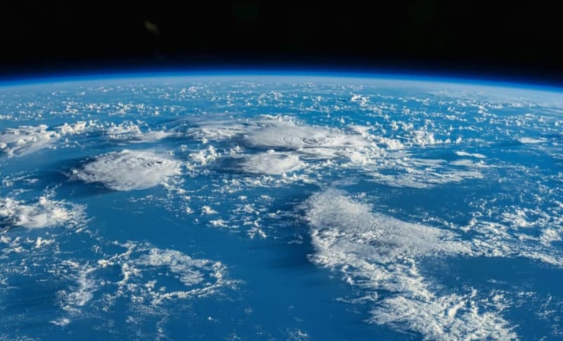
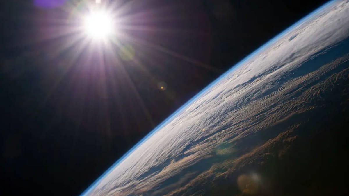
Earth Has 1.3 Billion More Years to Support Life
New climate modeling reveals that complex life on Earth will survive far longer than scientists previously thought. Researchers found that even as our Sun brightens, plants and other life forms have at least 1.3 billion years before conditions become uninhabitable.