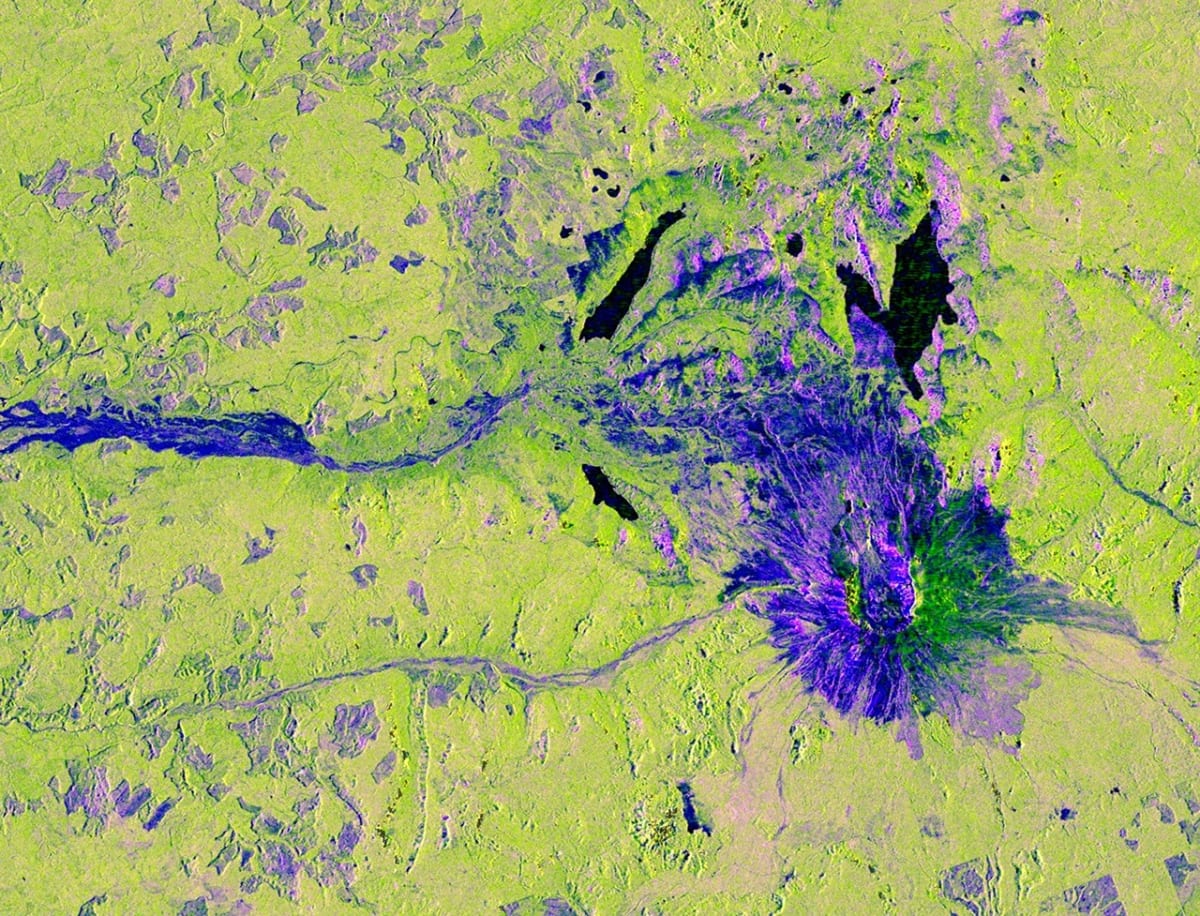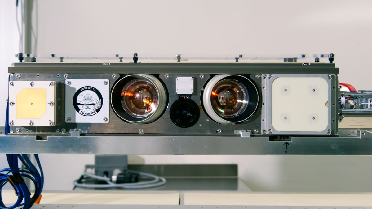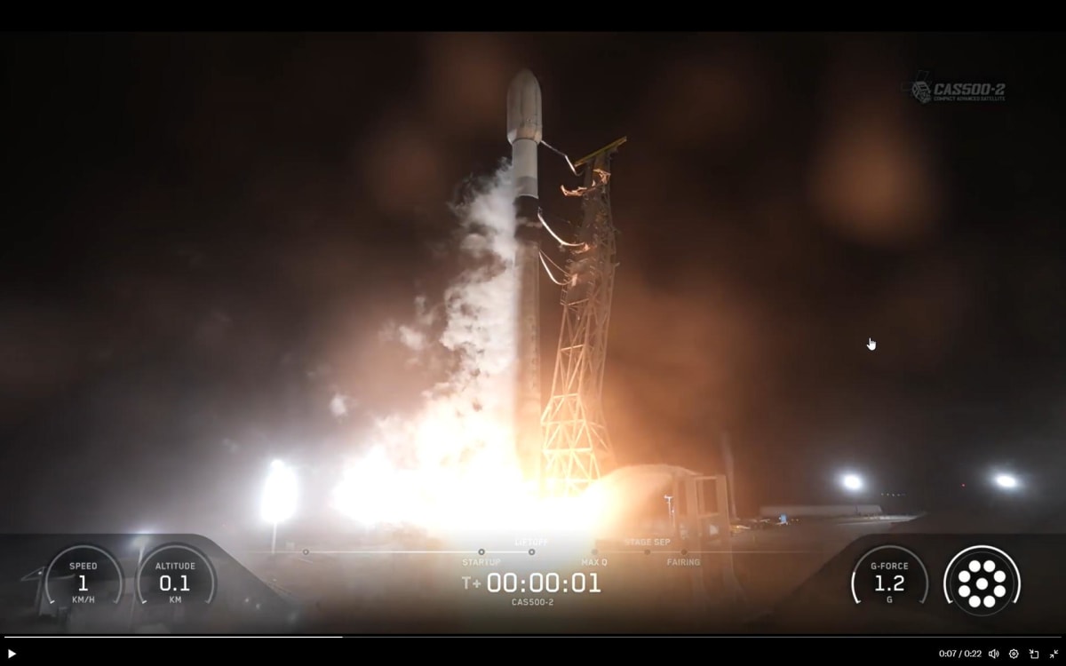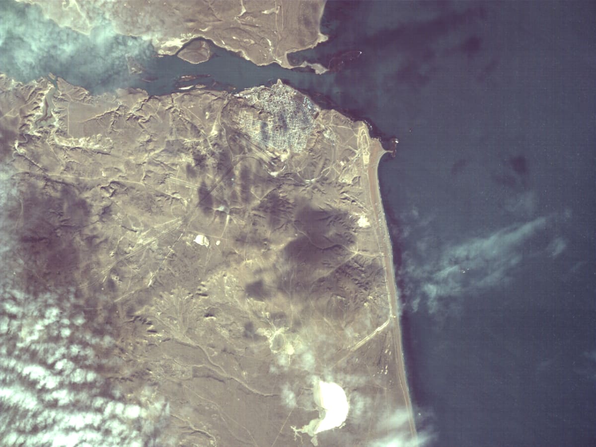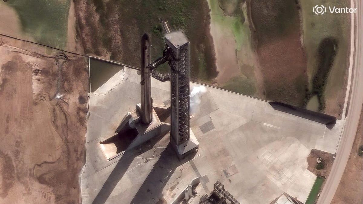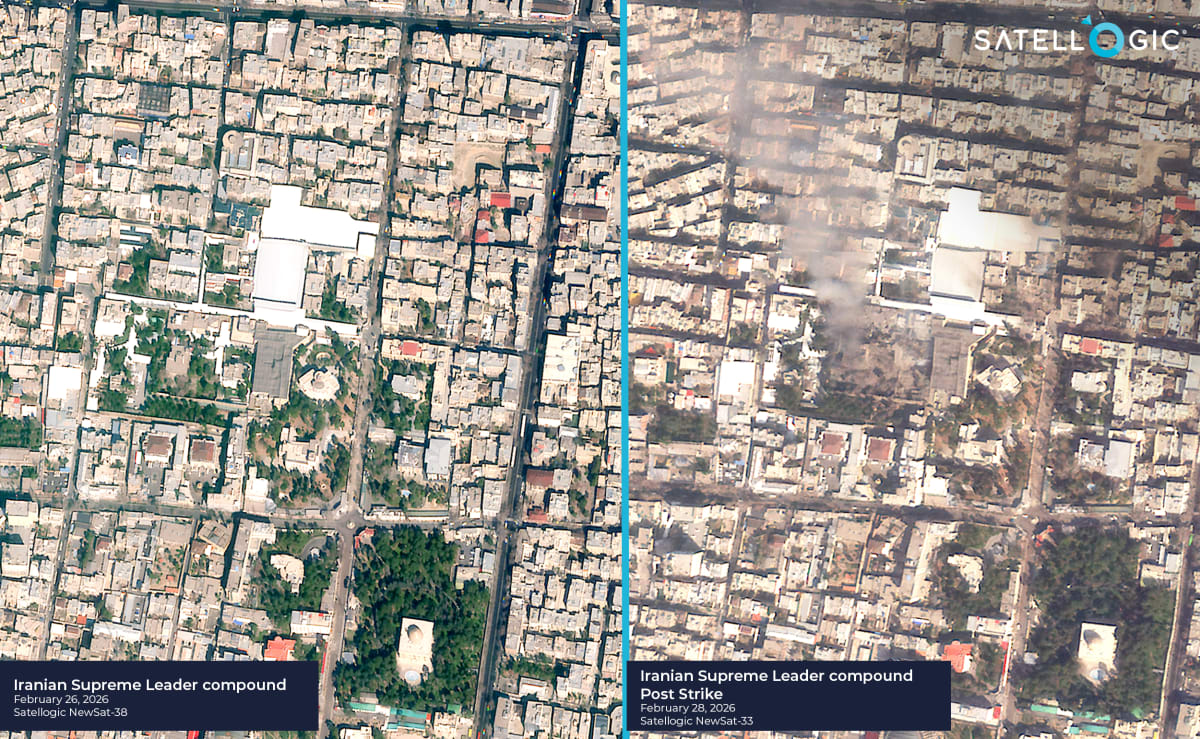
Satellites Now Deliver Earth Images in Just 13 Minutes
Companies are racing to deliver satellite imagery in minutes instead of hours, transforming how governments and organizations respond to emergencies and changing events worldwide. The speed revolution means better disaster relief, faster news, and smarter decisions when every second counts.